中文
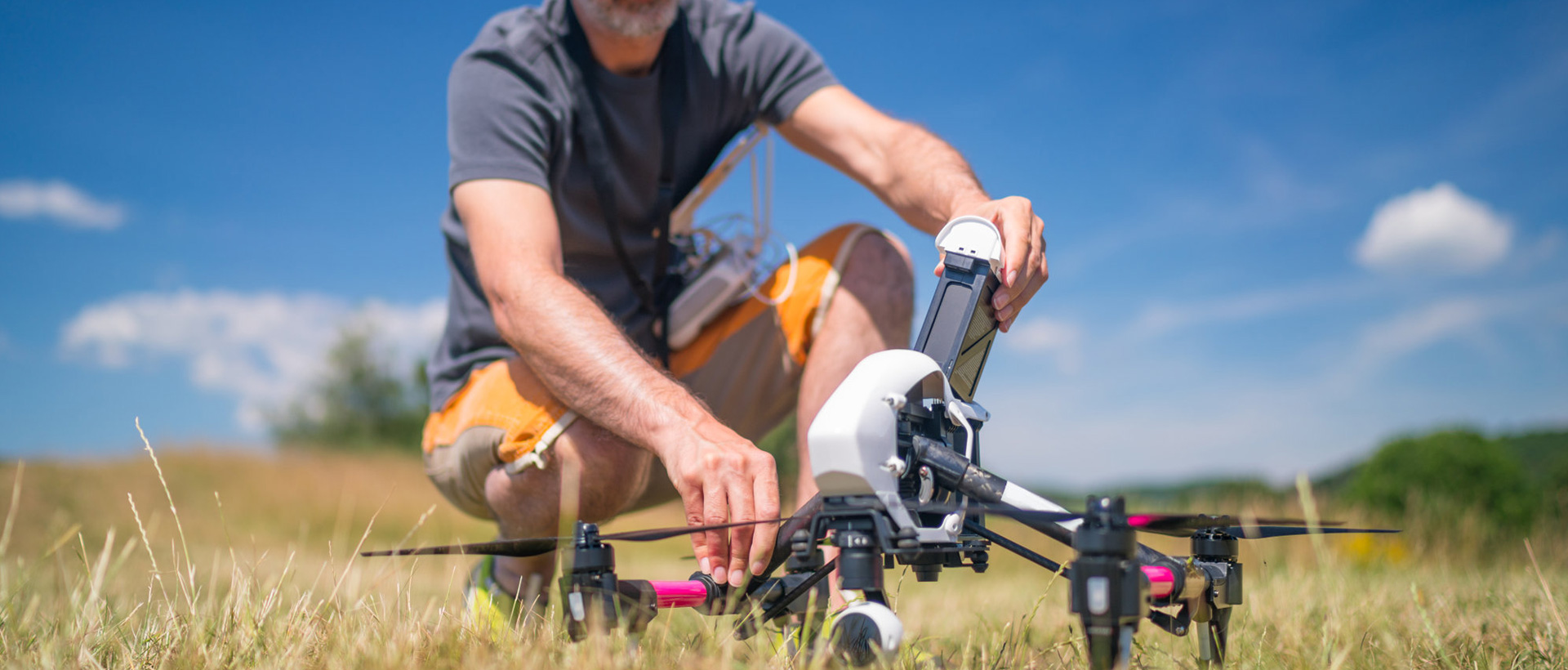
In vast forest areas of Shanxi, state-owned forest farms covering a total of 92,000 hectares stretch continuously across the land, where ecological protection tasks are arduous and significant. Against challenges including complex landforms, vast territorial span and severe difficulties in routine inspection, traditional manual patrol methods can hardly satisfy the supervision demands for high frequency and full coverage. With intelligent unmanned inspection system as the core solution, Honeycomb Aerospace helps drive the full upgrading of forestry inspection in Shanxi toward informatization, digitalization, intellectualization and unmanned operation.

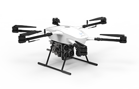
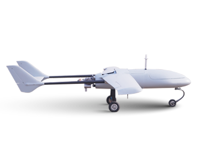
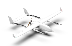
In an operating environment with an average altitude of over 3,000 meters, Honeycomb Aerospace has built a collaborative operation system integrating VTOL fixed-wing intelligent UAV docks and multi-rotor intelligent UAV docks, achieving full-coverage inspection of 92,000 hectares of state-owned forest farms. Each flight in this operation lasts 36 minutes with a range of 50 kilometers, greatly improving single-operation efficiency. The inspection tasks that once relied on prolonged manual work have been transformed into efficient and sustainable automated aerial operations.
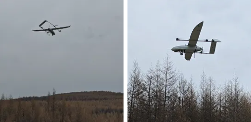
By developing an intelligent unmanned inspection system, Honeycomb Aerospace deeply integrates terminal data acquisition system, UAV flight control system and data analysis system to realize the coordinated operation of remote scheduling, cluster control, real-time monitoring and AI identification and analysis. The system can continuously obtain dynamic information of forest farms, improve the real-time performance and accuracy of data acquisition, and truly form a new application mode of "air-space-ground integration" with coordinated linkage between air and ground.
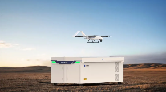
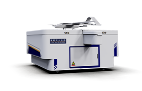
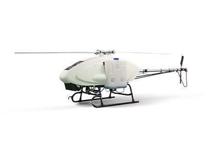
Among relevant facilities, SU-50Pro intelligent UAV dock serves as the core equipment. It consists of intelligent inspection UAV and UAV parking cabin, and features capabilities including remote control, autonomous takeoff and landing, automatic charging and clustered operation. It can conduct regular inspection tasks under unattended conditions, which effectively cuts labor costs and improves the stability and continuity of inspection work, while providing solid technical support for forestry supervision. Meanwhile, the system can also be widely applied to long-distance and large-scale scenarios such as oil and gas pipeline patrol, river inspection, road patrol, border and coastal defense missions.
Forest Pest and Disease Monitoring
By equipping UAVs with visible light and multispectral devices and adopting AI image recognition technology, precise identification and positioning analysis of diseases such as pine wood nematode can be realized. Through regular inspection and full-process supervision, a closed-loop management system covering monitoring, disposal and tracking of diseased trees is established, which improves the scientific and digital level of forest pest prevention and control.
Forest Fire Monitoring
Equipped with visible light, infrared and thermal imaging sensors, UAVs conduct rapid patrol and real-time monitoring over forest areas to accurately identify fire points, smoke and abnormal temperature conditions. The system enables rapid positioning and situation assessment at the early stage of fire outbreaks, helping build an intelligent fire prevention system featuring early detection, early warning and early disposal.
Post-disaster Forestry Assessment
Combining UAV aerial survey, satellite remote sensing and geographic information system, precise measurement is carried out for fire scope and damage conditions. Standardized models are adopted to assess burned area and economic losses, providing data support for post-disaster restoration and scientific decision-making.
In industrial application scenarios, solutions from Honeycomb Aerospace have been implemented in multiple regions and formed a number of benchmark cases.
Forest Fire Monitoring
Taking forest fire prevention as the entry point, a pilot project was launched in Libo County, Guizhou Province to develop an integrated inspection solution of VTOL fixed-wing and multi-rotor intelligent UAV docks. In the complex karst mountain environment with an altitude ranging from 1,500 to 3,000 meters, UAVs have effectively broken through the blind spots of traditional patrols and realized inspection in uninhabited areas. Relying on intelligent systems and AI algorithms, the entire process from fire detection to disposal can be completed in a closed loop within 10 minutes, significantly improving response efficiency and reducing disaster losses. Results show that the fire recognition accuracy rate in the pilot area exceeds 95%, providing an efficient and replicable technical path for forest resource protection and ecological security.
Forest Pest and Disease Monitoring
For forest pest and disease monitoring in targeted regions, the intelligent UAV dock inspection system is deployed. UAV platforms carry visible light devices to acquire image data, and adopt AI recognition and segmentation algorithms to rapidly extract affected areas, enabling all-weather dynamic monitoring of withered pine trees. The system also integrates positioning algorithms and GIS system to obtain precise longitude and latitude information of epidemic zones. It builds an integrated forest pest distribution map to efficiently grasp the overall epidemic distribution and support management personnel in targeted disposal.
Drafting of China's First UAV Standard for Forest and Grassland Fire Prevention
The Standardization Administration of China issued Announcement No. 4 of 2026. The national standard Technical Specification for UAV Patrol of Forest and Grassland Fire Prevention (GB/T47054—2026), drafted with participation of Honeycomb Aerospace, has been officially approved and shall come into force on May 1, 2026. Led by Chinese Academy of Forestry and jointly developed with multiple institutions, this is the first national-level UAV technical specification in the field of forest and grassland fire prevention in China. It marks that the application of UAVs in forest and grassland fire prevention has entered a new stage of standardized and regulated development.

Scan the QR to Follow us on Wechat