中文

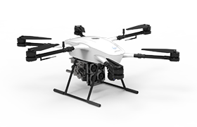
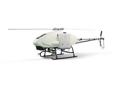
By equipping UAVs with mission payloads such as visible-light cameras, visible-light video cameras, infrared thermal imaging cameras, and compact optoelectronic cameras, inspections of oil pipeline routes can be achieved. Aiming at the characteristics of the oil pipelines in this project, this project adopts UAV-based inspection as a means to enrich the inspection approaches for oil and gas pipelines, enhance capabilities in damage prevention, leakage prevention, and emergency disaster response, replace part of manual labor, reduce the labor intensity of field workers, improve work efficiency, and establish an intelligent UAV inspection system suitable for oil and gas pipeline inspection.
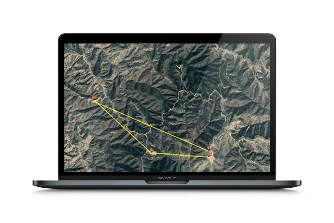
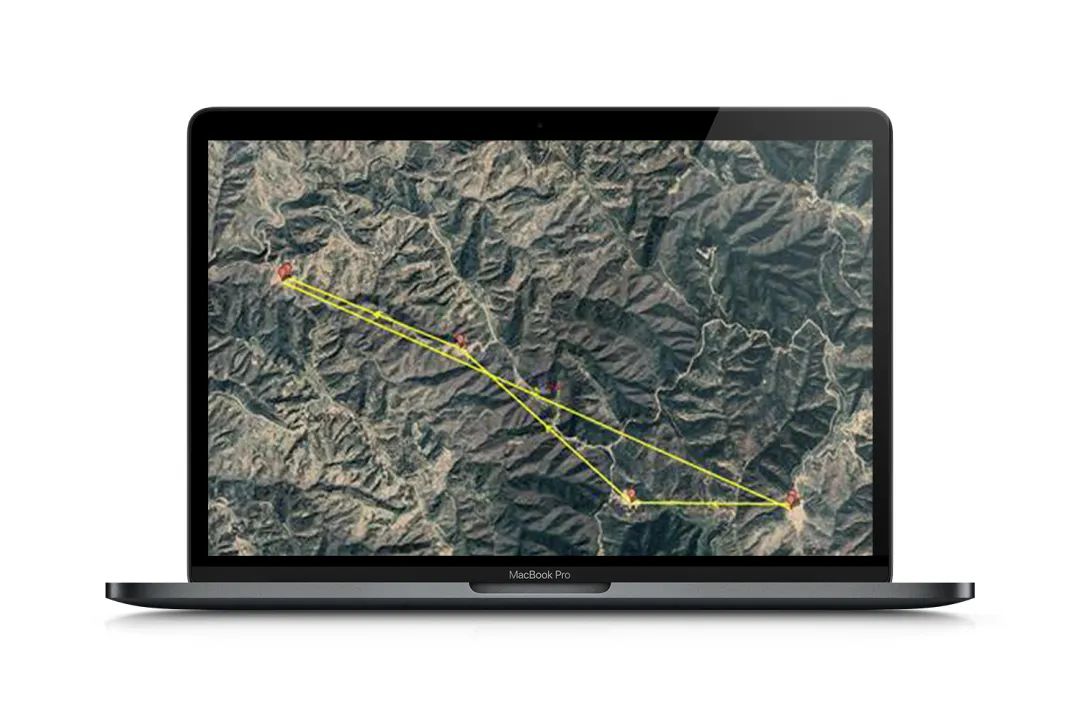
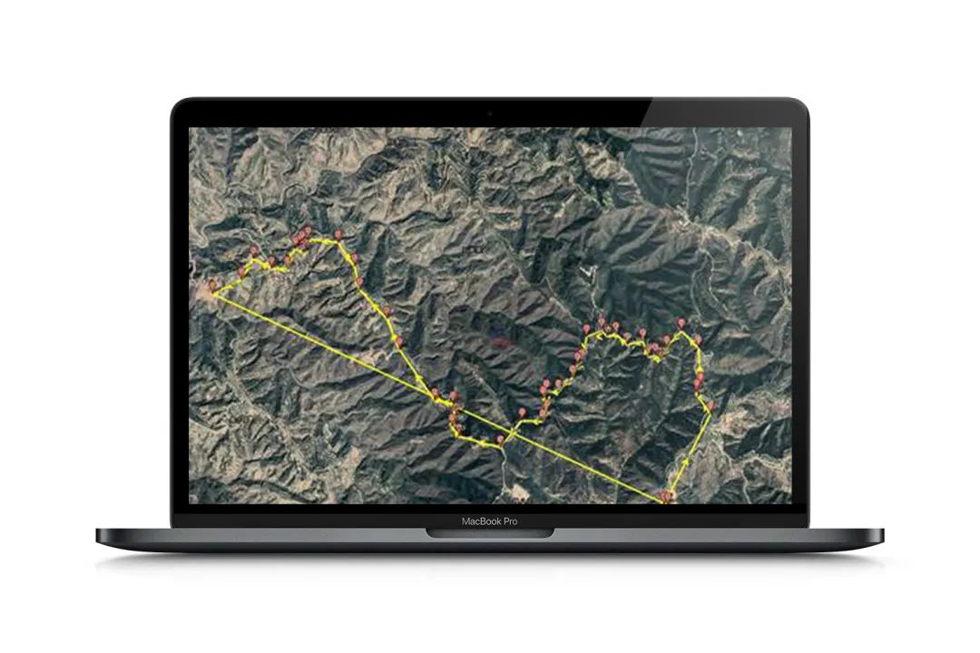
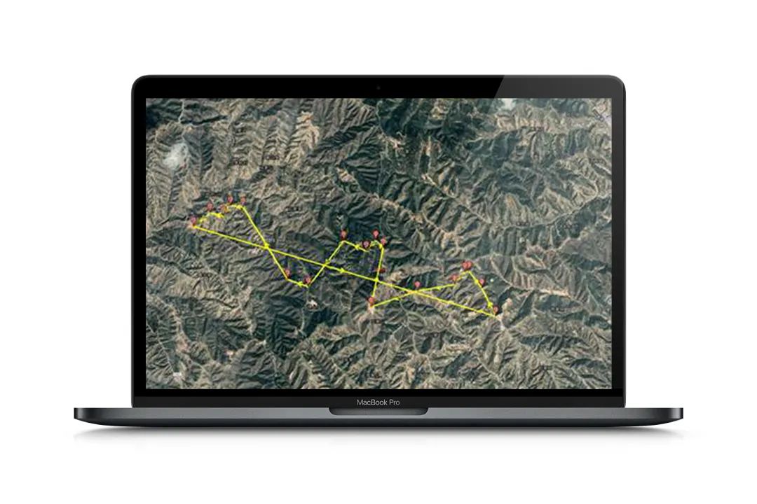
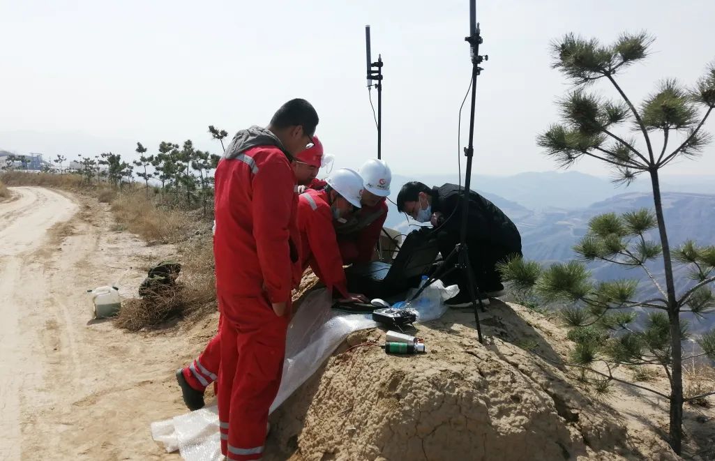
No.1 Flight test
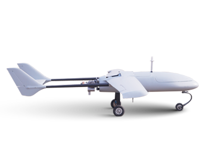
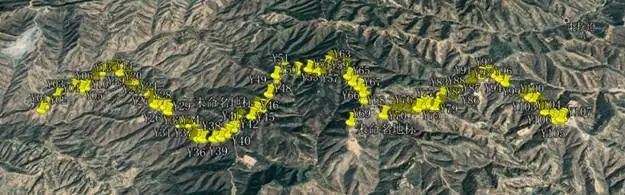
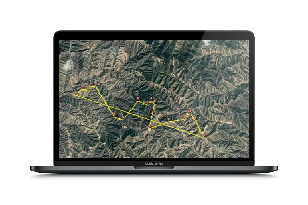
A site survey and route design were conducted for the target environment, with a straight-line distance of 7.5 km (from Central Station to Platform 3) and a one-way flight path of 11 km.
To test the hybrid engine's operational status at the target altitude and ensure safe flight during inspection operations, an engine status test was conducted. The test parameters included a take-off altitude of 1200 m, a flight altitude of 200 m, and a flight duration of 10 minutes. Test results showed stable engine power and normal voltage, confirming that subsequent flights can be safely executed.
To test the transmission status of the image link, a flight test was conducted with the following parameters: take-off altitude of 1200 m, flight altitude of 180 m, flight duration of approximately 10 minutes, and maximum flight distance of approximately 3 km. The test results showed normal voltage and stable image data transmission.
The take-off altitude was 1,200 meters above sea level, with a flight altitude of 180 meters. The maximum flight distance was approximately 5 kilometers, and the total flight time lasted 20 minutes. Voltage conditions were normal, and image data transmission remained stable, except for slight lag observed at the remote turning point.
The drone flew along the pipeline route with a take-off altitude of 1,200 meters above sea level and a flight altitude of 180 meters. The total flight distance was approximately 13 kilometers, and the total flight time lasted 30 minutes. Voltage conditions were normal, and image data transmission remained stable, except for slight lag observed at the remote turning points.
The take-off altitude was reduced to 1,150 meters above sea level, with a flight altitude of 230 meters. A 30-minute long-range flight test was conducted using simple routes, covering a total distance of approximately 13 kilometers. The flight status remained normal throughout, but starting from waypoint 4 in the second half of the flight, noticeable image transmission lag occurred. The lag became severe at the farthest point, though no signal loss was reported.

The take-off altitude was 1,150 meters above sea level, with a flight altitude of 230 meters. The flight lasted 45 minutes and covered a distance of approximately 16 kilometers during pipeline route inspection. Throughout the flight, noticeable image lag occurred, and at the farthest point, the image was lost. It is speculated that terrain obstruction and other factors were the main causes.
Using a data transmission antenna with increased ground gain, the take-off altitude was 1,110 meters above sea level, and the flight altitude was 270 meters. The 45-minute flight covered approximately 16 kilometers during pipeline route inspection. Compared to the previous inspection, image transmission showed significant improvement. However, due to the lower take-off position, slight image lag still occurred at remote points and turning points.
No.2 The results of the inspection
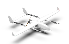
Through the aforementioned inspection flights, with communication guaranteed, the use of drones has significantly improved inspection speed and addressed the challenges of personnel access for inspections in mountainous areas due to terrain constraints. At the current level of drone technology, a single drone paired with one base station can effectively inspect areas within a 10-kilometer radius. Combined with the ultra-long flight duration of oil-electric hybrid power systems, this has doubled inspection efficiency.
Equipped with a 30x zoom optical camera, the drone can magnify human-sized targets at altitudes between 200 and 300 meters. It features a target-locking tracking function to pursue suspected targets. Additionally, the integrated infrared thermal imaging lens enables rapid detection of hazardous conditions such as leaks and fires, triggering alarms simultaneously. At night, it can also search for and monitor unauthorized personnel.

Scan the QR to Follow us on Wechat